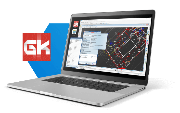
Gokart

CAD geodetic map mapping program.
It allows you to draw vector maps and object maps (fully supports GML format). With GoKart you can import, export and modify GML files for: TurboMap (WebEWID), EWmapa, GEO-INFO, Comarch ERGO and other systems.
Buy Gokart
Buy a license and start using the program today!
Choose the variant that suits your needs:
Stationary licenses
(1 seat)
period:annual
(1 seat)
period:perpetual
Remote licenses
(USB remote)
period:annual
(USB remote)
period:perpetual
Update and support
(1 seat)
period:annual
(1 seat)
period:annual
Buy a license and start using the program today! Choose the variant suitable for your needs! A single-station license will allow you to use the program on one device, while a portable (USB) license will allow you to work with the program on multiple stations (devices). Effectively adjust your purchase to the expected duration of program use with one of the additional options (perpetual and temporary keys). Learn more about the licenses.
Gokart
0,00 $
Selected product
Gokart
Total
0,00 $
Available payment methods
Features of the program
- works with your CAD program
- intuitive and user-friendly
- does not require time-consuming and expensive training
- will do some of the work for you
- you can create even the most complicated map (you can edit and create your own configurations)
- supports PKP maps (configurations in accordance with K1 manual, D-19 manual and GK1 manual)
- GML file handling becomes simple (imports, exports and modifies GML files for BDOT500, GESUT, EGiB, BDSOG, PRPOG, PRG databases)
- mapping becomes much faster and more pleasant
GOKART PROGRAM COMPATIBILITY
GoKart is the only program on the market that allows you to work with so many CAD platforms:
- IntelliCAD
Derivatives From version 6, including: BricsCAD, ZwCAD+, GStarCAD, progeCAD, ActCAD and others. - Bentley MicroStation
95, SE, v7/J, v8, v8 2004 Edition, XM, v8i, Connect Edition and derivative versions: PowerDraft, PowerMap, GeoOutlook, Redline, Navigator. Version v8 2004 or later is recommended. For ‘truncated’ versions such as Redline, Navigator, there may be some limitations in functionality. Versions older than v8 do not allow plotting of object maps. - Autodesk
AutoCAD 2000 to the latest version, AutoCAD LT – only with LT Extender or Cadsta Max. - AutoCAD
From version 2000 to the latest, AutoCAD LT – only with LT Extender or Cadsta Max.
- Ability to map and create object bases simultaneously
At the same time, we create a map for the client and a GML working database file for the Geodetic and Cartographic Documentation Center - Works as a plugin for CAD platforms (separate windows)
It makes it much easier to access all program functions without switching between tabs and map program windows (continuous access to both the map and mapping and attribute editing tools). - Quickly find symbols
Intuitive grouping of objects of the basic map, the possibility of searching by entering in the search engine a fragment of the description of the searched object or its code. - Ability to serially plot symbols and labels
- Automation of insertion of objects and descriptions
Ability to automatically insert some objects and their descriptions based on their codes or selections in the coordinate database. - Definitions of databases and maps in accordance with regulations
Definitions of databases of topographic objects and maps in accordance with current regulations (BDOT500, GESUT, EGiB, BDSOG, PRPOG, PRG). - Import and export GML files of all the above mentioned databases
- Making GML differential files
Production of GML differential files for updating the base map at the Geodetic and Cartographic Documentation Centers
- GESUT and BDOT500 Regulation 2013.
Derivatives From version 6, including: BricsCAD, ZwCAD+, GStarCAD, progeCAD, ActCAD and others. - GESUT Regulation 2015.
Complies with the Regulation of the Minister of Administration and Digitization of October 21, 2015 on the county GESUT database and the national GESUT database, at scales of 1:500, 1:1000, 1:2000, 1:5000; the ability to create an object map in GML format. - BDOT500 Regulation 2015.
Compliant with the Regulation of the Minister of Administration and Digitization of November 2, 2015 on the database of topographic objects and the base map at scales of 1:500, 1:1000, 1:2000, 1:5000; the ability to create an object map in GML format. - 1998 K1 manual.
Complies with the 1998 K-1 technical manual at scales of 1:500, 1:1000, 1:2000, 1:5000. - C-STATION overlay (1995 K1 manual).
Compatible with the C-Station overlay for plotting of the principal map according to the 1995 K-1 manual at scales of 1:500, 1:1000, 1:2000, 1:5000. - Railroad manual D19
Complies with Railway Instruction D-19 “On the organization and execution of surveys in railroad surveying”. - Technical standard GK1
Complies with the technical standard GK-1 of 2015. “On the organization and execution of measurements in railroad surveying”.
- Importing coordinates with codes
Automatically create a map based on the coordinate file if the coordinate set contains codes according to K-1 or the applicable regulation. - Displaying information about the selected object
The tool displays a dialog box with a description of the object, additionally allowing you to draw more of the same object. - Integrated content of the 1998 K-1 manual and “BDOT500/GESUT Regulations.”
Ability to display the definition (description from the manual) of the selected object. - Mass map processing
Mass map processing tools are used to perform mass operations on selected elements – such as scaling, rotating elements, and even editing ordinates on the map (translation, updating, rounding the ordinate). - Automatic or semi-automatic plotting of complex map elements
A number of tools for automatic or semi-automatic plotting of complex map elements such as slopes, staircases, floor descriptions, text references, ditch fills, retaining wall fills, mining graffiti and others. - Drawing orthogonal and elongated objects
A tool that makes it easier to draw orthogonal objects (e.g. buildings) and elongated objects (e.g. wire outlines) - Manual interpolation of contours
Tools to support manual interpolation of contours. - Massive drawing of headlines
Tools for plotting foreheads in bulk on selected lines or between clicked points, and for plotting orthogonal measures (domains). - Frame generator
A tool for creating map sheets (off-frame descriptions). Automatically creates a map frame based on a map emblem or based on preset coordinates. Includes a number of fully customizable frame templates. In addition, it allows you to create a whole set of sheet files in bulk. - Support for external coordinate databases
A tool for handling external coordinate databases, allowing, among other things, to generate a list of mapped points with codes or to perform mapping checks by generating a list of unmapped points. - Automatic map processing
Tools for automatic processing of the map to adapt to the selected configuration (instructions), including automatic change of map scale. It is possible to process to the selected configuration practically any numerical source map, with prior one-time “teaching” of the program to recognize the relevant map elements based on the selected parameters. - Calculation of coordinates and areas
Tools for calculating coordinates from linear indentation and domain, calculation of plot areas for the entire map, including reduced areas, with a report.
Try for free!
15-day trial period
Customer reviews
Usługi Geodezyjne
Piotr Ślęzak
“GoKart used to create gml very intuitive in what makes work easier.”
Usługi Geodezyjno-Kartograficzne „GEODEZJA” s.c.
Agnieszka Urban
“Good value for money, yet intuitive and easy to use.”
Geovia
Remigiusz Chojnacki
“I tested GoKart on Microstation. Revelation. I’m buying.”
AM-GEO PRZEDSIĘBIORSTWO GEODEZYJNO-KARTOGRAFICZNE
MGR INŻ. GRZEGORZ KAZIMIERZ JADZEWICZ
GoKart is an invaluable program that allows someone unfamiliar with GEOINFO to quickly update and save the result in a format accepted by the center.
GEOPOINT
Jacek Walczak
“GoKart program trivial to use, transparent. Quick and efficient generation of gml files. File control by report. Accepted without problems in the center. Super price.”
Training zone
SEE HOW A GO-KART WORKS!
Especially for you, we have prepared a series of tutorials on how to use the most important features of our GoKart program!